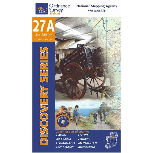
OSI 27A Cavan
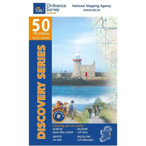
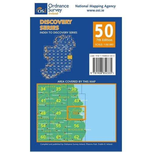
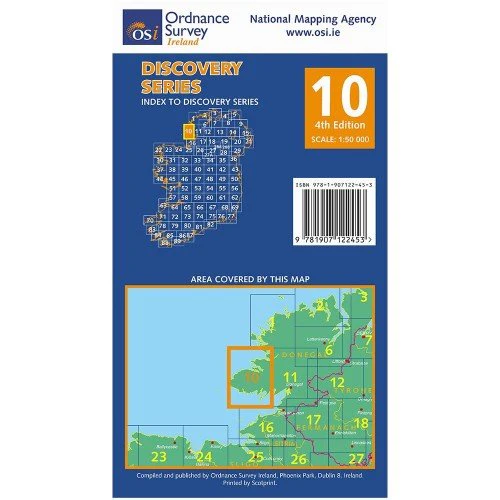
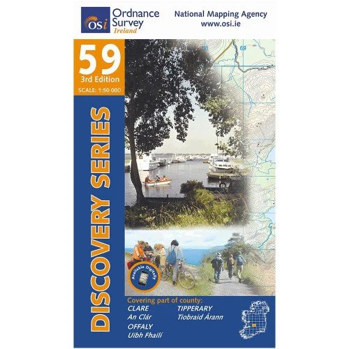
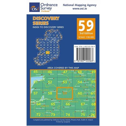
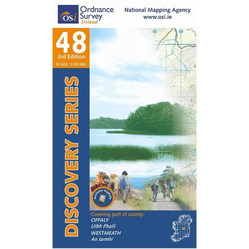
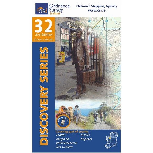
The Discovery and Discoverer Series are a set of 93 maps drawn to a scale of 1:50,000 which cover the island of Ireland.
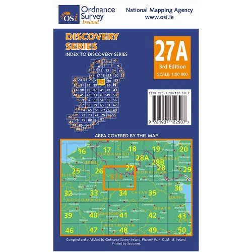
The Discovery and Discoverer Series are a set of 93 maps drawn to a scale of 1:50,000 which cover the island of Ireland. The Republic of Ireland is spread across 75 sheets as part of the Discovery Series and a further 18 sheets extend across Northern Ireland as part of the Discoverer Series. Each sheet in the series covers an area of 40km x 30km.
Map Includes
- Ballinamore | Beál an Átha Móir
- Ballyconnell Canal Loop
- Bawnboy Loop Walk
- Belturbet
- Black Pig's Dyke
- Butler's Bridge
- Cavan | An Cabhán
- Cuilcagh Mountains (part of)
- Cuilcagh Way
- Garadice Lough
- Hawkswood Loop Walks
- Killashandra
- Killashandra Loop Walks
- Killykeen Forest Park
- Killykeen Gartnanoul Trail
- Killykeen Nature Trail
- Kingfisher Cycle Route (part of)
- Lough Oughter | Loch Uachtair
- Newtownbutler | An Baile Nua
- Slieve Rushen
- Swanlibar | An Muileann Iaráinn
- Upper Lough Erne | Loch Éirne Uachtair
More Images
OSI 27A Cavan
The Discovery and Discoverer Series are a set of 93 maps drawn to a scale of 1:50,000 which cover the island of Ireland.
The Discovery and Discoverer Series are a set of 93 maps drawn to a scale of 1:50,000 which cover the island of Ireland. The Republic of Ireland is spread across 75 sheets as part of the Discovery Series and a further 18 sheets extend across Northern Ireland as part of the Discoverer Series. Each sheet in the series covers an area of 40km x 30km.
Map Includes
- Ballinamore | Beál an Átha Móir
- Ballyconnell Canal Loop
- Bawnboy Loop Walk
- Belturbet
- Black Pig's Dyke
- Butler's Bridge
- Cavan | An Cabhán
- Cuilcagh Mountains (part of)
- Cuilcagh Way
- Garadice Lough
- Hawkswood Loop Walks
- Killashandra
- Killashandra Loop Walks
- Killykeen Forest Park
- Killykeen Gartnanoul Trail
- Killykeen Nature Trail
- Kingfisher Cycle Route (part of)
- Lough Oughter | Loch Uachtair
- Newtownbutler | An Baile Nua
- Slieve Rushen
- Swanlibar | An Muileann Iaráinn
- Upper Lough Erne | Loch Éirne Uachtair
Product Information
Product Information
Shipping & Returns
Shipping & Returns
Description
The Discovery and Discoverer Series are a set of 93 maps drawn to a scale of 1:50,000 which cover the island of Ireland.
The Discovery and Discoverer Series are a set of 93 maps drawn to a scale of 1:50,000 which cover the island of Ireland. The Republic of Ireland is spread across 75 sheets as part of the Discovery Series and a further 18 sheets extend across Northern Ireland as part of the Discoverer Series. Each sheet in the series covers an area of 40km x 30km.
Map Includes
- Ballinamore | Beál an Átha Móir
- Ballyconnell Canal Loop
- Bawnboy Loop Walk
- Belturbet
- Black Pig's Dyke
- Butler's Bridge
- Cavan | An Cabhán
- Cuilcagh Mountains (part of)
- Cuilcagh Way
- Garadice Lough
- Hawkswood Loop Walks
- Killashandra
- Killashandra Loop Walks
- Killykeen Forest Park
- Killykeen Gartnanoul Trail
- Killykeen Nature Trail
- Kingfisher Cycle Route (part of)
- Lough Oughter | Loch Uachtair
- Newtownbutler | An Baile Nua
- Slieve Rushen
- Swanlibar | An Muileann Iaráinn
- Upper Lough Erne | Loch Éirne Uachtair